gate 6:
moiwa peak
ADVANCED TO EXPERT
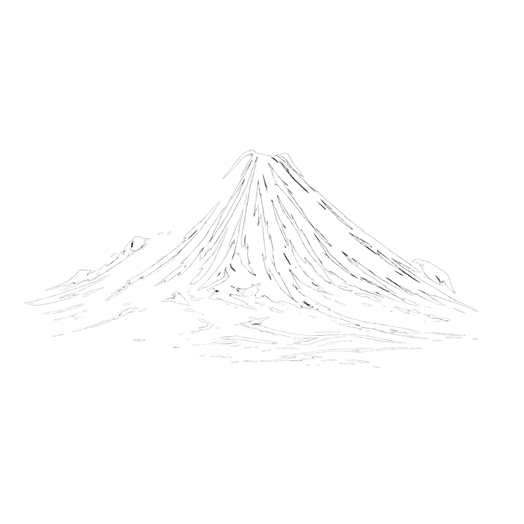
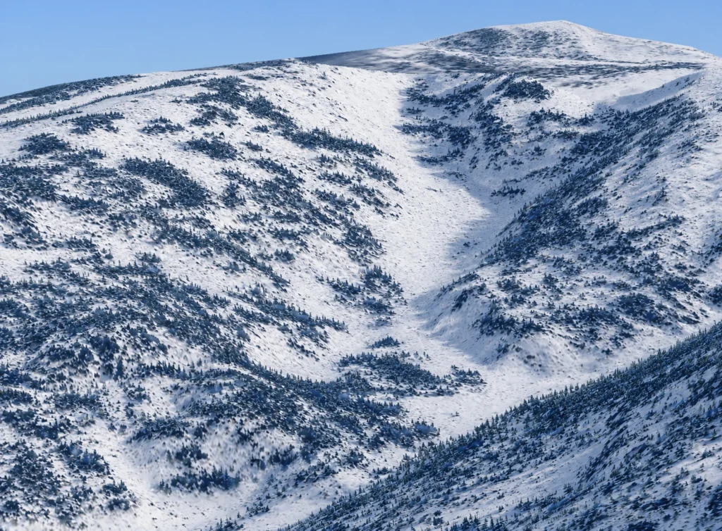
Technical alpine freeride terrain featuring cliff bands, steep roll-overs, natural half-pipes, and exposed wind-loaded faces with minimal tree coverage.
location
Moiwa

aspect
E – SE
angle
30º to 45º
Distance
1 km
Exposure
High
Vertical drop
340 m
Line options
Multiple line
gate overview
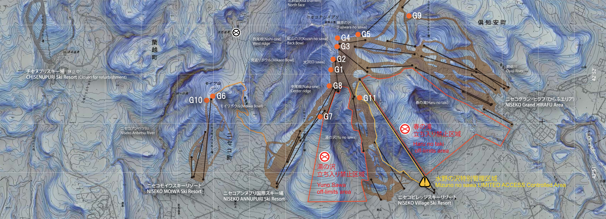
Accessed from the top of the Moiwa Quad Lift, Gate 6 opens into rugged side-country terrain connecting zones such as Moiwa Bowl, Mikaeri-no-sawa, and the western Anbetsu area. The terrain rewards experienced riders with steep technical lines, exposed alpine features, and remote descents requiring careful route selection and long exits.
Terrain features
Open alpine faces, cliff bands, creek walls, natural half-pipes, steep chutes, and wind-loaded ridges with very limited tree cover. Lower sections transition into sculpted gullies, creek run-outs, and technical traverses leading toward remote exit routes and hiking sections.
Expert tips
Be prepared for long traverses after the drop, as the exit line often flattens out. Certain sections may become non-skiable, requiring skating or short pushes to reconnect with the return route.
how to get in/out
Access starts directly to the right of the top Moiwa lift unload area. Returning to the resort requires a long, flat traverse toward skier’s right.
Ride Gate 6 with a local guide
Not sure about conditions, the entry or the best line today? Ride it with someone who knows this gate.
- ✓ Line chosen for the day's snow and avalanche conditions
- ✓ Experienced local guides who know Niseko's gates
- ✓ Private or small groups · skiers and snowboarders
Distance:
1 km
Vertical drop:
340 m
Exposure:
High
Entry type:
Skiing
Exit type:
Traversing
Line options:
Multiple lines
Ride Gate 6 with a local guide
Not sure about conditions, the entry or the best line today? Ride it with someone who knows this gate.
- ✓ Line chosen for the day's snow and avalanche conditions
- ✓ Experienced local guides who know Niseko's gates
- ✓ Private or small groups · skiers and snowboarders
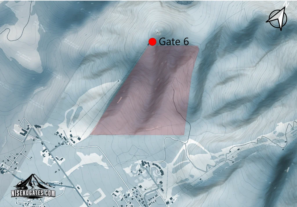
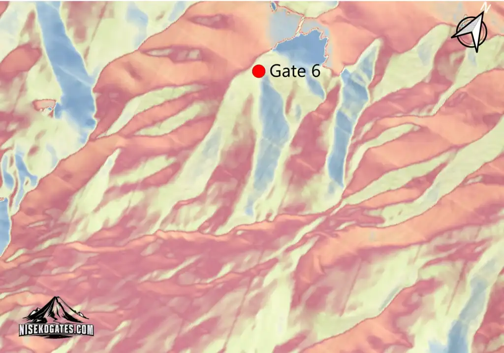
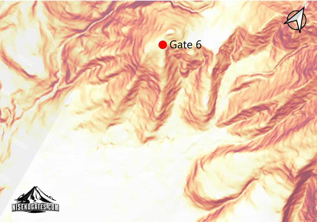
These maps are independently created using topographic datasets, terrain analysis, and GIS tools to help visualize terrain features, access points, and route options around Niseko.
They are intended for reference only and should not replace official avalanche forecasts, navigation tools, or local mountain information.
For professional mapping tools and safety resources, visit the Resources section.
niseko
gates
Independent information for safety backcountry decisions and better days in Niseko.
backcountry gates
Gate 1 – L-GI
Gate 2 – Annupuri Peak
Gate 3 – Hirafu Peak
Gate 4 – Hanazono Ridge
Gate 5 – Hanazono Gate
Gate 6 – Moiwa Peak
Gate 7 – E-Sawa
Gate 8 – Hachi-Ban
Gate 9 – Waterfall
Gate 10 – Moiwa Sidecountry
Gate 11 – Mizuno no Sawa
INSTRUCTION & BOOKING
Private Lessons
Group Lessons
Freeride Foundation
Gate Guiding
Booking Process
legal

need help planning your backcountry trip?
© 2026 NISEKO GATES
Ride smart. Respect the mountains. Share the stoke responsibly. · Lessons in partnership with Limitless Hokkaido.